Marine Biodiversity Science Center

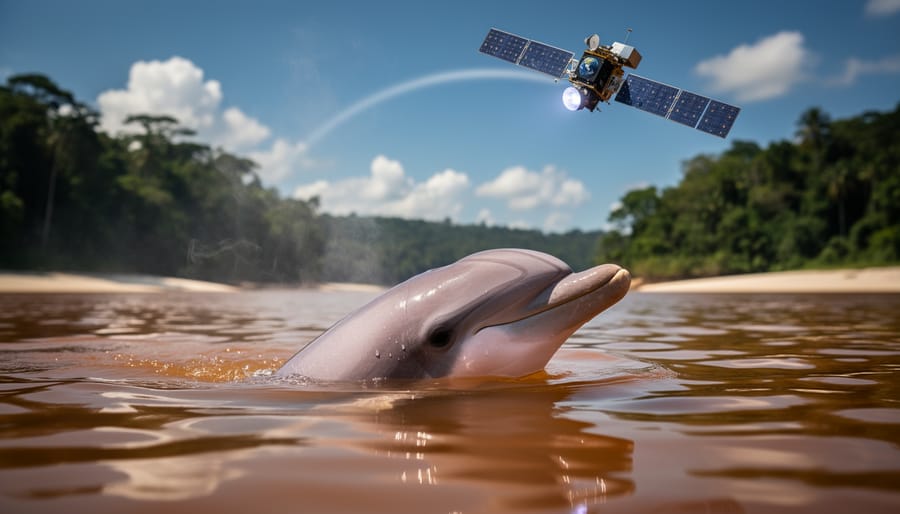
How Satellite Technologies Can Help Prevent Mass Die-Offs of River Dolphins
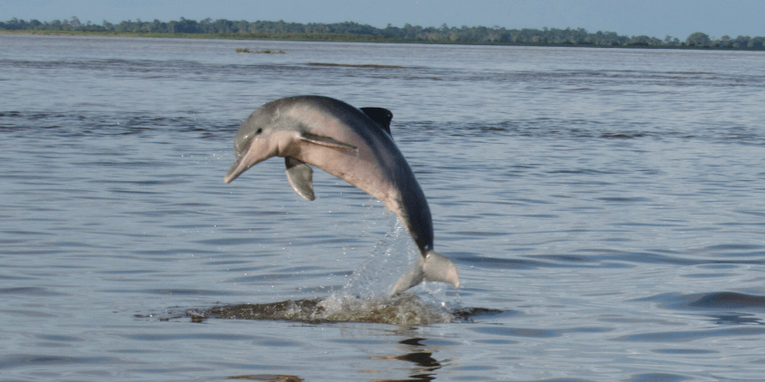
Imagine a lake so hot it could serve as a spa. That is not hyperbole, as in September 2023, the waters of Lake Tefé, tucked inside the Brazilian Amazon, hit 41°C. For the pink and grey river dolphins that had lived there meant a hostile environment that many could not withstand. By October of that same year, 209 of them were found dead — not through disease, not through hunting, but through heat alone.
A study later revealed that water temperatures in the basin fluctuated by 13°C daily, and 2024 brought an even more punishing drought: Lake Tefé shrank to a quarter of its former size, whilst the neighbouring Badajós Lake lost 90% of its surface area. For scientists and conservationists working to prevent the next mass mortality event, the race is on to build something the Amazon has never had: an early warning system. Organisations seeking to purchase and download hi-res satellite imagery are increasingly finding themselves at the centre of that effort.
A thermometer in the sky: Space-based infrared detection
The core problem is the following: the Amazon is enormous, remote, and largely unwatched. There are not enough monitoring stations to track water temperatures across thousands of lakes and tributaries, and by the time a die-off is reported, it is already too late to act. Satellites, however, do not sleep and do not need roads.
Thermal infrared sensors aboard platforms like Landsat, NASA’s MODIS, and Sentinel-3 can read lake surface temperatures from orbit across areas that would take months to survey on foot. These high-resolution satellites produce thermal portraits of entire water bodies in near real time. For instance, a system that processes images from Sentinel-3 every 1-2 days could be programmed to raise an alarm the moment temperatures in a given water body begin approaching the danger zone of temperatures. That time span could mean the difference between a rescue operation and a body count.
Reading the receding shorelines via radar technology
Temperature is only half the story. Thermal vulnerability in the Amazon is linked to water depth; when water levels collapse, the deep, cool channels providing natural sanctuary for river dolphins vanish. As Lake Tefé’s collapse illustrated, when a lake shrinks so does the number of places worth hiding. Tracking that process in real time requires a different kind of satellite tool entirely.
Synthetic Aperture Radar (SAR) works like sonar from space, bouncing signals off the Earth’s surface to map water extent regardless of cloud cover or darkness. High-res satellite images provide this vital hydrological defence, no matter whether the sky above the Amazon is clear or thick with storm clouds. During the 2023 drought, researchers combined satellite data with a deep learning model to monitor the Rio Negro river basin every 12 days. The results confirmed that the river had reached its lowest level in 120 years — a finding that only became clear through the accumulated weight of high-quality satellite images processed over time. Integrated with radar altimetry, this kind of monitoring can flag dangerous lake contraction weeks before it becomes critical, turning a reactive crisis response into something resembling actual planning.
Borrowing blueprints from the oceans to get predictive analysis
The idea of using satellite data to save an endangered species from thermal collapse is not new. It has been working in the ocean for over two decades. NOAA’s Coral Reef Watch programme has long used high-res imagery from orbit to monitor sea surface temperatures and alert reef managers when bleaching thresholds are close. Although it’s not perfect, there is no good scientific reason why a freshwater equivalent cannot be built for the Amazon water bodies.
The pieces are already being assembled. There are several projects ongoing, such as European Space Agency’s RESETlakes project or its companion ESA’s AQUASUP Project and its next-generation frameworks (CHIME and LSTM) to close existing data gaps in freshwater monitoring. The technical foundation for a comprehensive Amazon alert system is largely in place. The missing ingredient is not technology. It is urgent.
Knowing where the dolphins go
None of this early warning infrastructure is much use without knowing where to direct the response. That is where satellite telemetry enters the picture. In a 2023 study from the Peruvian Amazon, researchers tagged eight river dolphins and tracked their movements across the Amazon and Orinoco basins, using kernel density analysis to map not just where the animals went, but where they truly concentrated under stress.
Overlaying that location data with very high-resolution satellite imagery of water depth, temperature, and vegetation gives conservationists a spatial map of vulnerability: where dolphins will gather when the heat peaks, and where intervention will matter most. This type of map is used and maintained by the Brazilian Water Agency to cover the entire Amazon catchment. What emerges is something genuinely powerful than just that: a unified picture of the ecosystem, updating continuously, accessible to the people making decisions on the ground.
Climate models are not optimistic about what is coming. More droughts, more summers that push already-stressed lakes past the point of no return. The high-resolution multispectral satellite imagery that could anchor a proper early warning network for the Amazon’s river dolphins is orbiting overhead right now. The question is not whether the technology exists; it is whether we will build and use it in time.

jessica
Ava Singh is an environmental writer and marine sustainability advocate with a deep commitment to protecting the world's oceans and coastal communities. With a background in environmental policy and a passion for storytelling, Ava brings complex topics to life through clear, engaging content that educates and empowers readers. At the Marine Biodiversity & Sustainability Learning Center, Ava focuses on sharing impactful stories about community engagement, policy innovations, and conservation strategies. Her writing bridges the gap between science and the public, encouraging people to take part in preserving marine biodiversity. When she’s not writing, Ava collaborates with local initiatives to promote eco-conscious living and sustainable development, ensuring her work makes a difference both on the page and in the real world.