Marine Biodiversity Science Center
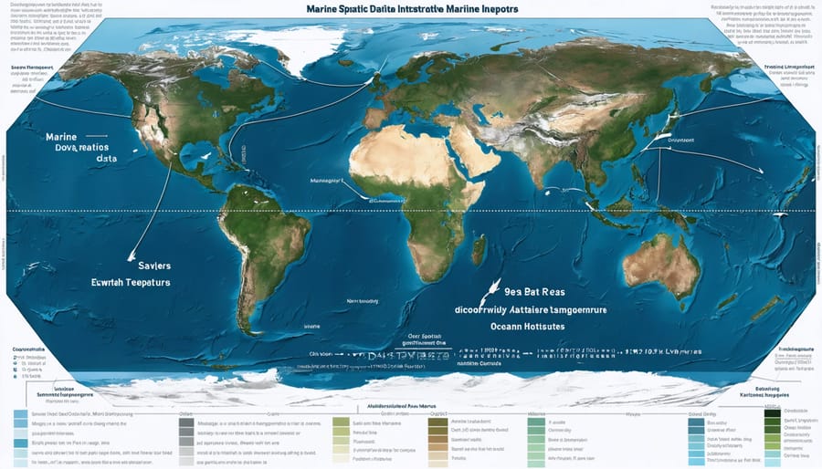
Marine spatial data infrastructure (MSDI) revolutionizes how we understand, manage, and protect our ocean ecosystems in an increasingly data-driven world. As the cornerstone of modern ocean management, MSDI integrates vast amounts of maritime data—from seafloor mapping and vessel tracking to marine habitat surveys and climate observations—into unified, accessible frameworks that drive informed decision-making. This sophisticated digital ecosystem enables coastal nations to better coordinate their marine activities, protect vulnerable marine environments, and sustainably develop their blue economies.
By providing a standardized platform for collecting, storing, and sharing marine spatial information, MSDI bridges critical gaps between science, policy, and action. It empowers stakeholders across sectors—from environmental scientists and maritime industry professionals to government agencies and conservation groups—to access reliable, up-to-date marine data for enhanced planning and response capabilities. As our oceans face unprecedented challenges from climate change, pollution, and resource exploitation, the role of MSDI in supporting evidence-based marine spatial planning and ecosystem-based management becomes increasingly vital for ensuring the sustainable future of our marine environments.
Understanding Marine Spatial Data Infrastructure (MSDI)
Core Components of MSDI
Marine spatial data infrastructure relies on three fundamental components that work together seamlessly to provide comprehensive marine information management. The first component consists of multiple data layers that capture various aspects of the marine environment, including bathymetry, habitat mapping, species distribution, and human activities like shipping routes and fishing zones.
The second core component involves technology platforms that facilitate data collection, storage, and analysis. These platforms include Geographic Information Systems (GIS), remote sensing tools, and specialized marine data management software. Modern MSDI systems often incorporate cloud computing capabilities, allowing for real-time data updates and improved accessibility for stakeholders across different locations.
Standardization protocols form the third essential component, ensuring data consistency and interoperability across different systems and organizations. These protocols include metadata standards, data exchange formats, and quality control procedures. Common standards like ISO 19115 for geographic information metadata and Open Geospatial Consortium (OGC) specifications help create a unified framework for marine data sharing.
Together, these components enable marine scientists and managers to make informed decisions about ocean resources. For example, when marine protected areas need to be established, managers can overlay multiple data layers showing biodiversity hotspots, current human activities, and oceanographic features to identify optimal locations for conservation efforts.
As technology advances, these core components continue to evolve, incorporating new tools like artificial intelligence for data analysis and blockchain for data verification, making MSDI increasingly sophisticated and effective.
Data Collection and Integration Methods
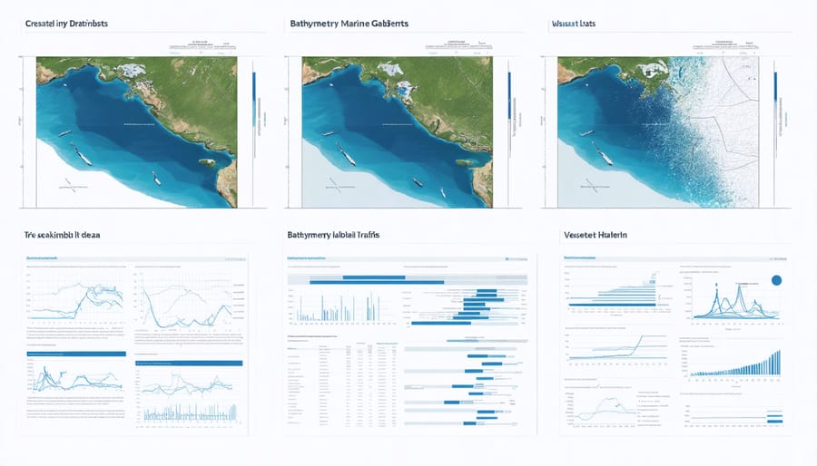
Marine spatial data infrastructure relies on diverse collection methods to gather comprehensive ocean data. Remote sensing technologies, including satellite imagery and aerial surveys, provide broad-scale coverage of marine environments, capturing data on sea surface temperature, chlorophyll concentrations, and coastal changes. Underwater vehicles, both autonomous and remotely operated, collect detailed information about seafloor topography and marine habitats.
Vessel-based surveys remain crucial for gathering physical oceanographic data through instruments like CTD (Conductivity, Temperature, Depth) sensors and acoustic mapping systems. These surveys often incorporate biological sampling and water quality measurements. Fixed monitoring stations, including buoys and coastal observation systems, deliver continuous real-time data about ocean conditions.
The integration of these varied data sources requires sophisticated data management systems. Modern MSDI platforms employ standardized formats and protocols to ensure interoperability between different data types. Cloud-based storage solutions facilitate data sharing among institutions, while quality control procedures maintain data integrity.
Citizen science initiatives have become increasingly valuable, with trained volunteers contributing observations through mobile apps and online platforms. Marine scientists and local communities collaborate to monitor coastal ecosystems, track species movements, and document environmental changes. This participatory approach not only expands data collection capabilities but also strengthens public engagement in marine conservation efforts.
The integration process includes data validation, harmonization of different spatial references, and the development of metadata standards to ensure proper documentation and accessibility.

MSDI in Action: Supporting Integrated Marine Management
Ecosystem-Based Management Applications
Marine spatial data infrastructure plays a crucial role in supporting ecosystem-based management by providing comprehensive data integration and analysis capabilities. This approach enables marine managers and scientists to make informed decisions about habitat protection, species conservation, and sustainable resource use.
By combining multiple data layers – from seafloor mapping and water quality measurements to species distribution and human activity patterns – MSDI helps identify critical marine habitats and ecological hotspots. Conservation teams can then establish protected areas where they’ll have the most significant impact on biodiversity preservation.
For example, when marine protected areas (MPAs) are being planned, MSDI allows managers to analyze the movement patterns of marine species alongside human activities like fishing and shipping. This data-driven approach helps create boundaries that maximize ecological benefits while minimizing conflicts with sustainable resource use.
MSDI also supports adaptive management strategies by monitoring ecosystem health over time. Scientists can track changes in marine populations, habitat conditions, and environmental parameters, allowing them to adjust conservation measures as needed. This dynamic approach ensures that management strategies remain effective as ocean conditions change and new challenges emerge.
The system’s ability to integrate real-time data with historical information helps predict and prevent potential ecological impacts, making it an invaluable tool for maintaining healthy marine ecosystems while supporting sustainable maritime activities.
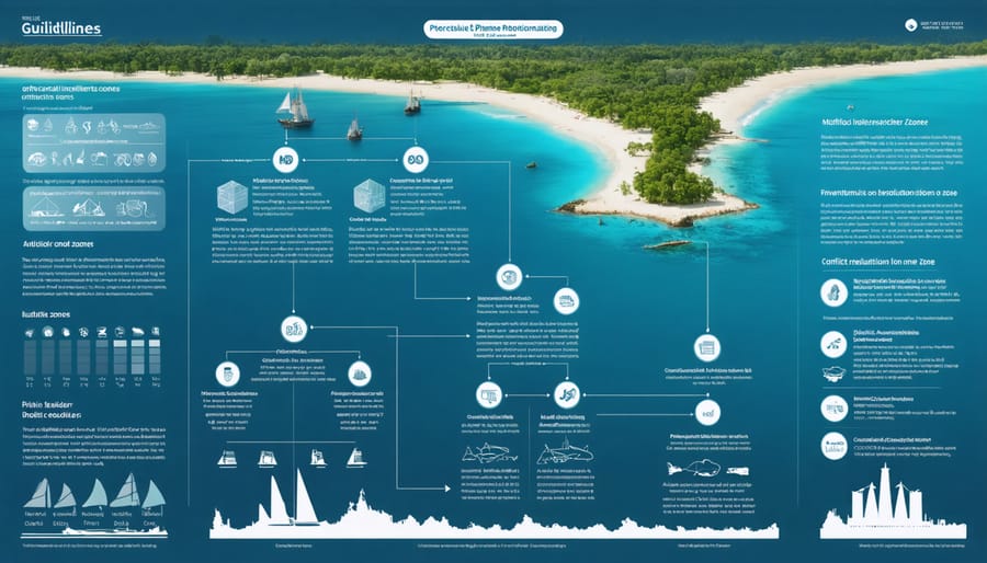
Conflict Resolution and Stakeholder Engagement
Marine spatial data infrastructure plays a crucial role in resolving conflicts between various stakeholders who share marine resources. By providing comprehensive, data-driven insights, MSDI helps decision-makers balance competing interests such as commercial fishing, marine conservation, offshore energy development, and recreational activities.
For example, when planning offshore wind farms, MSDI enables stakeholders to visualize and analyze multiple layers of data simultaneously. This includes fishing grounds, shipping lanes, marine mammal migration routes, and sensitive habitat areas. By overlaying these datasets, planners can identify optimal locations that minimize conflicts with existing marine activities while maximizing renewable energy potential.
Successful stakeholder engagement through MSDI often involves collaborative mapping sessions where different groups contribute their knowledge and concerns. Local fishing communities might share traditional fishing grounds, while conservation groups provide data on critical ecosystems. This participatory approach ensures that all voices are heard and documented in the planning process.
The system also supports adaptive management by monitoring changes over time and allowing stakeholders to track the effectiveness of implemented solutions. When conflicts arise, MSDI provides a neutral, fact-based platform for discussion and negotiation, helping parties find common ground through objective data analysis rather than subjective arguments.
This data-driven approach to conflict resolution has proven particularly effective in establishing marine protected areas while maintaining sustainable fishing practices, demonstrating how MSDI can support both conservation goals and economic activities.
Case Study: Success Stories
The successful implementation of Marine Spatial Data Infrastructure has transformed several coastal regions worldwide. In Australia’s Great Barrier Reef Marine Park, MSDI integration has revolutionized marine conservation efforts by enabling real-time monitoring of coral health and species distribution. This system has helped reduce ship strikes on marine mammals by 65% and improved response times to potential threats by 40%.
Norway’s BarentsWatch program demonstrates another remarkable success story. By implementing comprehensive MSDI, Norwegian authorities have created an integrated monitoring system that connects 27 government agencies and provides crucial data for sustainable fisheries management. This initiative has led to a 30% reduction in illegal fishing activities and enhanced the efficiency of search and rescue operations.
In Canada’s Maritime provinces, the SmartAtlantic initiative showcases how MSDI can benefit both conservation and maritime safety. The program combines data from various sources, including autonomous underwater vehicles and coastal radar systems, to provide accurate oceanographic information. This has resulted in improved vessel routing, reduced fuel consumption, and better protection of sensitive marine habitats.
These success stories highlight how MSDI not only supports scientific research but also provides practical solutions for sustainable ocean management. The systems continue to evolve, incorporating new technologies and expanding their capabilities to address emerging challenges in marine conservation and resource management.
Future Directions and Challenges
Technological Advancements
Recent technological advancements are revolutionizing how we collect, manage, and analyze marine spatial data. Cloud computing platforms now enable real-time processing of vast datasets from multiple sources, making it easier for researchers and organizations to collaborate across borders. Machine learning algorithms are being deployed to automatically classify marine habitats and track species movements, significantly reducing the time needed for data analysis.
The integration of autonomous underwater vehicles (AUVs) and marine drones has expanded our ability to gather high-resolution seafloor mapping data, even in previously inaccessible areas. These vehicles are equipped with advanced sonar systems and cameras that provide unprecedented detail about marine ecosystems and geological features.
Blockchain technology is emerging as a solution for ensuring data integrity and traceability in marine spatial data management. This innovation helps verify the authenticity of collected data and maintains transparent records of changes made to spatial databases.
The Internet of Things (IoT) is transforming marine monitoring through networks of smart sensors that continuously collect and transmit oceanographic data. These sensors measure everything from water quality to marine traffic patterns, creating a more comprehensive understanding of marine environments.
Looking ahead, quantum computing shows promise for processing complex oceanographic models and handling the increasing volume of marine spatial data, while augmented reality tools are being developed to visualize underwater infrastructure and marine protected areas in revolutionary ways.
Addressing Implementation Challenges
The implementation of Marine Spatial Data Infrastructure (MSDI) faces several significant challenges that organizations must navigate carefully. One primary obstacle is the substantial initial investment required for technology infrastructure and training. Many coastal nations, particularly developing countries, struggle with limited resources and technical expertise to establish comprehensive MSDI systems.
Data standardization poses another crucial challenge. With multiple organizations collecting marine data using different formats and methodologies, integrating these diverse datasets becomes complex. This challenge is particularly evident when addressing coastal development challenges that require seamless data sharing across jurisdictions.
However, solutions are emerging through international collaboration and innovative approaches. Cloud-based platforms are reducing infrastructure costs, making MSDI more accessible to resource-limited organizations. Open-source software solutions and standardization initiatives like the Open Geospatial Consortium (OGC) are helping bridge technical gaps.
Capacity building programs, led by experienced marine nations, are helping address the expertise shortage. These programs often include knowledge transfer sessions, technical workshops, and ongoing support mechanisms. Additionally, public-private partnerships are proving effective in sharing costs and technical resources, making MSDI implementation more feasible for many regions.
To overcome these challenges, organizations are increasingly adopting phased implementation approaches, starting with core functionalities and gradually expanding their capabilities as resources and expertise grow.
Marine Spatial Data Infrastructure represents a crucial foundation for sustainable ocean management and conservation in our increasingly complex marine environment. By providing a comprehensive framework for collecting, organizing, and sharing marine data, MSDI enables informed decision-making that balances environmental protection with economic development and social needs.
The success of MSDI depends on active participation from all stakeholders – from government agencies and research institutions to private sector organizations and local communities. Each contributor plays a vital role in building and maintaining this essential knowledge base that supports marine spatial planning, coastal zone management, and ecosystem preservation.
Looking ahead, the continued evolution of MSDI will be shaped by technological advances, growing environmental challenges, and changing user needs. The integration of real-time data, artificial intelligence, and improved visualization tools will enhance our ability to understand and protect marine ecosystems. However, these developments can only reach their full potential through sustained collaboration and commitment from the global marine community.
We encourage all stakeholders to engage with MSDI initiatives in their regions, whether through data sharing, participating in standardization efforts, or supporting capacity building programs. By working together, we can build more robust and effective marine spatial data infrastructures that serve as powerful tools for ocean conservation and sustainable resource management.
The future of our oceans depends on our ability to make informed decisions based on comprehensive, accurate data. MSDI provides the framework to make this possible, but its success relies on our collective commitment to its development and implementation.
Weston Goyette
Weston Goyette is a passionate advocate for marine conservation and sustainability. With a background in marine biology and environmental science, Weston has dedicated his career to exploring the intricate relationships within ocean ecosystems and promoting strategies to protect them. At the Marine Biodiversity & Sustainability Learning Center, Weston contributes insightful articles that delve into topics such as endangered species protection, climate change impacts on marine life, and sustainable practices for preserving our oceans. His writings aim to educate and inspire readers to take actionable steps toward environmental stewardship. Beyond his written work, Weston actively participates in community outreach programs, engaging with local schools and organizations to raise awareness about marine conservation. His commitment to both scientific research and public education makes him a valuable asset to the Center's mission.